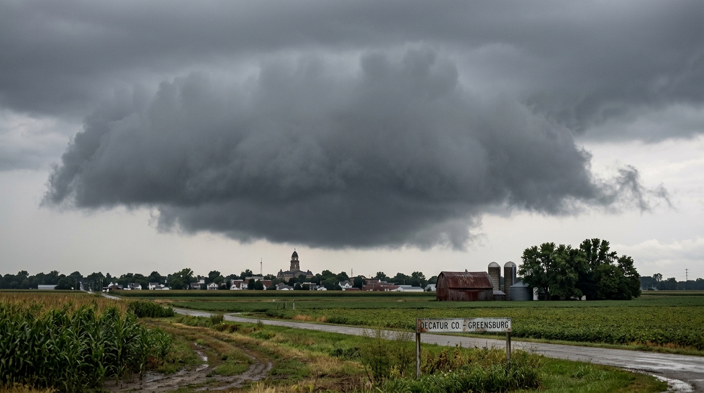
GREENSBURG, Ind. — The National Weather Service officially updated the classification of a localized low-pressure system over Decatur County on Tuesday, upgrading it from a standard stationary trough to “an atmospheric presence that is clearly waiting for an invitation.”
The system, a dense, slate-gray stratocumulus cloud designated Cumulus-812, has hovered at an altitude of exactly 14 feet above the intersection of Maple Street and Oak Drive for nearly two weeks. Despite humidity levels within the cloud exceeding 98 percent, local instruments have recorded zero inches of precipitation, a phenomenon meteorologists attribute to the system’s profound lack of social confidence.
“Normally, a saturated air mass of this density undergoes condensation and releases its moisture load within six to eight hours,” said Dr. Keith Mercer, lead micro-climatologist at the Great Lakes Weather Station. “But Cumulus-812 appears to be suffering from a form of barometric stage fright. It possesses all the physical pre-conditions for a severe thunderstorm, yet its internal pressure readings suggest the atmospheric equivalent of a polite throat-clear.”
According to NWS Doppler radar scans, the cloud has spent the last 48 hours drifting slowly back and forth across a three-yard radius, occasionally shifting to avoid direct contact with passing mail trucks. When researchers launched a tethered weather balloon to collect air samples on Thursday, the cloud reportedly compressed itself by several feet and drifted behind a nearby row of arborvitae hedges.
Local residents have expressed growing exhaustion with the cloud’s ambiguous presence, describing the local atmosphere as heavy with unresolved tension.
“You go outside to get the paper, and it’s just sitting there, right at eye level, dampening your forehead but never actually committing to a drizzle,” said resident Brenda Gidley, whose driveway has been cast in shadow since July 9. “Last night, my husband went out with an umbrella just to see if we could coax it into doing something, and it immediately retreated to the edge of the property line. It’s like it wants to rain on us, but it doesn’t want to make a scene.”
In response to the stagnation, the NWS has deployed a mobile meteorological unit to monitor the cloud's psychological profile. Technicians have noted that the system’s dew point fluctuates wildly whenever a car door slams, suggesting a high level of environmental sensitivity.
On Monday, municipal workers attempted to trigger precipitation by staging an outdoor community barbecue, a variable that historically guarantees immediate rainfall. However, eyewitnesses reported that Cumulus-812 merely thinned out into a translucent, apologetic mist, lingering near the smoke of the grill before reforming into its original shape once the sausages were brought indoors.
Should the system fail to precipitate by Friday, the NWS plans to issue a localized “Vague Gray Advisory” for the tri-county area, warning residents to prepare for indefinite overcast conditions that are neither gloomy enough to justify staying inside nor bright enough to enjoy.
“At this point, we are advising locals to stop looking directly at it,” Dr. Mercer said. “If we pretend it isn’t there, it might finally find the courage to dissipate.”