GRAND RAPIDS, Mich. — The National Weather Service confirmed Monday that a persistent high-pressure system hovering over the Great Lakes region has officially transitioned from a standard atmospheric blockage into a state of active, non-communicative sulking.
The system, which has kept western Michigan under a uniform, lukewarm, and slightly humid grey ceiling for nine consecutive days, has defied all traditional thermodynamic models. Instead of dissipating or generating precipitation, the 200-mile-wide air mass is exhibiting behaviors that climatologists describe as resolutely avoidant.
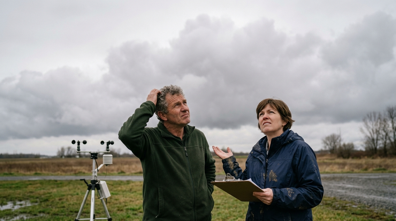
"Usually, a system of this size either resolves into a thunderstorm or clears out when a dry continental front moves through," said Dr. Aris Thorne, a senior climatologist at the Great Lakes Environmental Research Laboratory. "Instead, when the cold front arrived on Thursday, this system simply compressed itself, became slightly more humid, and refused to engage. It’s not producing severe weather; it’s just making it impossible for anyone else to have a good time."
Efforts by researchers to probe the system have reportedly only worsened its disposition. On Saturday, the National Oceanic and Atmospheric Administration (NOAA) dispatched a Beechcraft King Air research plane to gather barometric data. According to flight logs, as soon as the aircraft entered the upper troposphere, the system’s dew point dropped three degrees in what technicians described as a literal cold shoulder, prompting the entire cloud deck to drift four miles to the east until the plane departed.
The stagnation has taken a heavy toll on local residents, who report a distinct sense of emotional exhaustion from simply looking out the window. The temperature in Grand Rapids has remained at a static, unyielding 71 degrees Fahrenheit since June 20, with zero wind, no rain, and no visible sun.
"You walk outside and you just feel like you’ve done something wrong," said local resident Sarah Vance, who has postponed her daughter's outdoor graduation party twice. "It’s not storming, so you can’t justify staying inside, but it’s too oppressive to actually do anything. It’s just hovering there, waiting for us to notice how quiet it's being. My husband tried to light the patio fire pit yesterday and the smoke just sat on our lawn. It felt incredibly pointed."
In response to the unprecedented gridlock, the NWS has updated its weekly outlook, replacing traditional isobar maps with a color-coded Atmospheric Mood Index. Current guidance suggests that attempting to force a resolution—such as municipal fireworks displays or outdoor concerts—will likely extend the system's stay.
"We are advising the public to treat the system with benign neglect," Thorne said, noting that barometric readings indicate the air mass is currently holding its breath in the upper atmosphere. "Do not look directly at the cloud cover, and please, stop planning outdoor events just to see if it will rain. It wants the attention, but it doesn't want to talk about it."